Seyed Amir Muhammad
Qureshi
Geospatial Technologies | GeoAI | Earth Science
About Me
I develop AI methodologies for Earth observation, creating new approaches to satellite imagery synthesis using generative models and conditional generation techniques.
Research Focus
Generative AI for Earth Observation
Developing diffusion models for synthetic satellite imagery generation with the United Nations. Specialized in conditional image synthesis and automated geospatial workflows.
Technical Expertise
AI & Geospatial Stack
Achievements
Academic & Research
Currently completing my Erasmus Mundus Master's across Spain, Germany, and Portugal, while collaborating with the United Nations on some pretty cool thesis research involving diffusion models for synthetic satellite imagery. My work explores conditional generation methods and building scalable workflows for processing thousands of satellite images for AI training.
I've published research in Environmental Modelling & Software and Groundwater for Sustainable Development, and built AquMADE, a GIS-based web application that helps with groundwater quality assessment for environmental decision-making. I've also been a teaching assistant in digital image processing, geodesy, and photogrammetry.
My approach? Bringing together cutting-edge generative AI with real-world geospatial applications. From generative models for Earth observation to automated satellite analysis workflows, I'm all about developing methodologies that make sophisticated AI actually useful for tackling environmental challenges.
Featured Work
Posts, blogs, and news
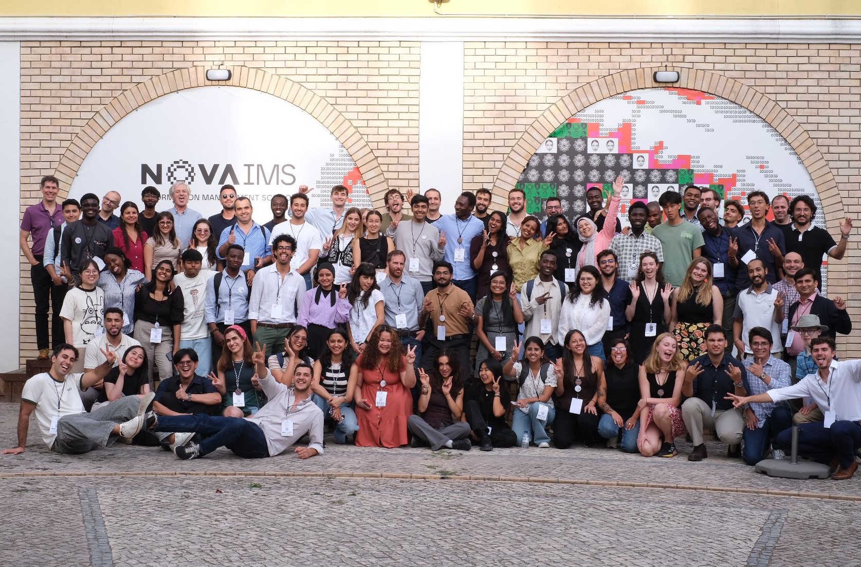
GeoMundus Conference 2025
I was Program Team Leader at GeoMundus, A Conference on Geospatial Technologies for Smart Cities
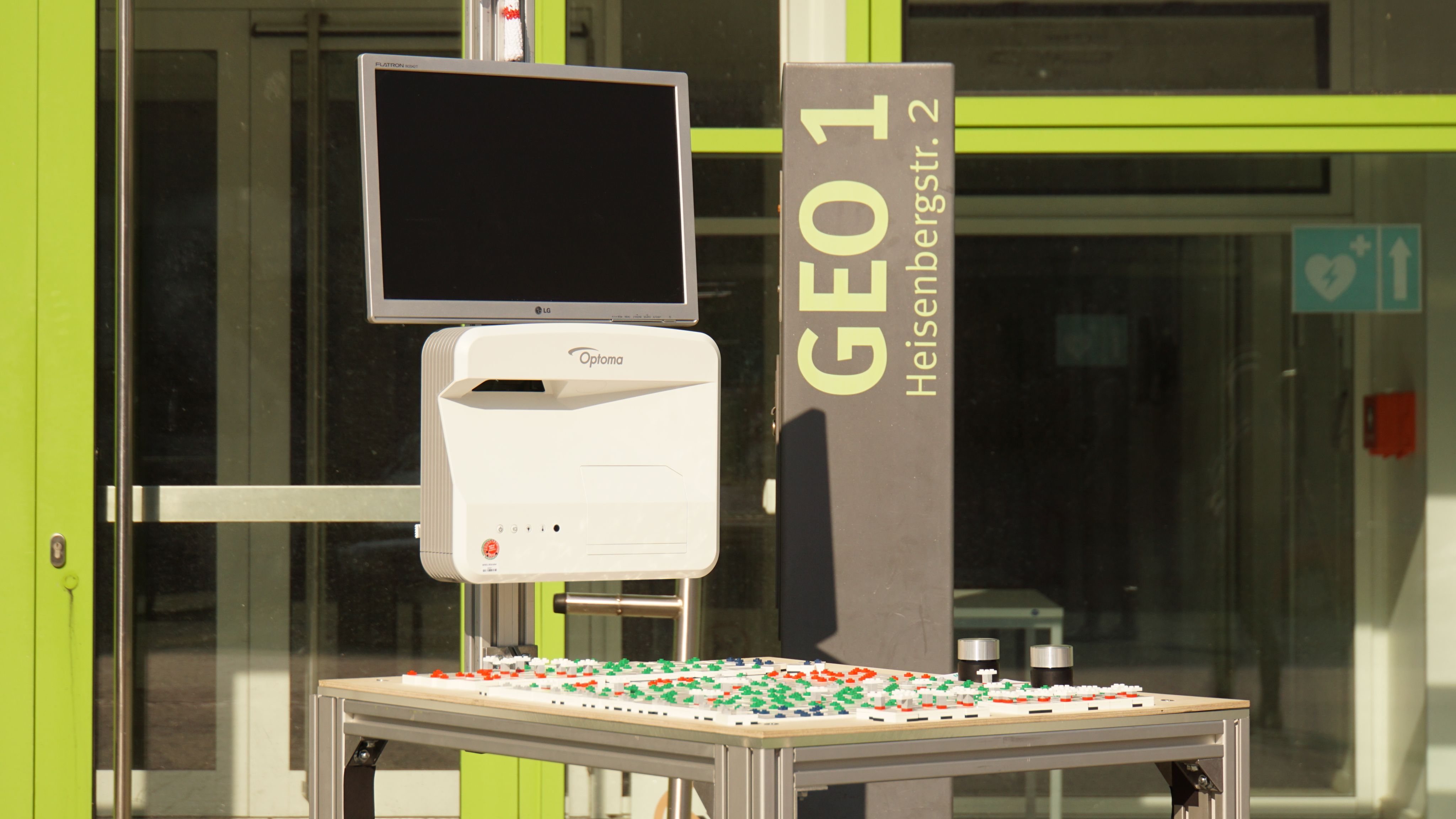
How to Build Windscope
Building an Interactive Wind Park Simulator with LEGO and Computer Vision
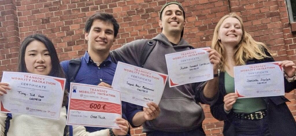
Transdev Hackathon 2025
We're proud to have earned 2nd place at the Transdev Hackathon
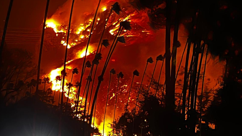
Predicting Next-Day Wildfire Spread
A Feature Engineering and Dimensionality Reduction Approach